
Services
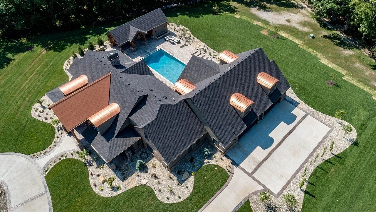
Real Estate Photography
Professional aerial photos and video that highlight property features, surroundings, and location context
Use cases:
Residential and commercial listings
Large acreage and agricultural properties
Resort and hospitality marketing
Deliverables:
High-resolution edited photos
Optional aerial video clips
MLS- and web-ready formats

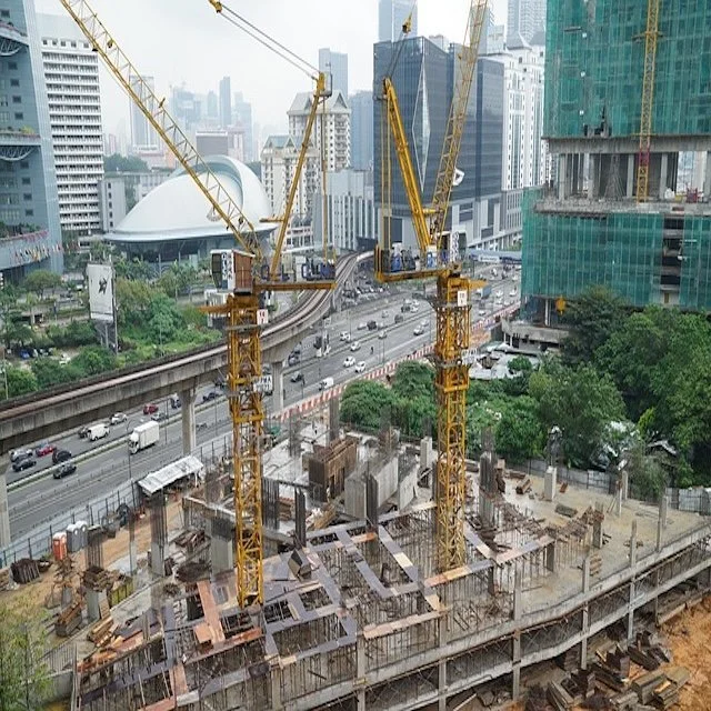
Construction Monitoring
Consistent aerial documentation to track progress, improve communication, and support project management.
Use cases:
Residential and commercial construction
Subdivision development
Infrastructure and utility projects
Deliverables:
Scheduled progress flights
Annotated imagery
Time-series photo sets
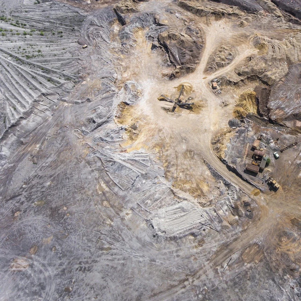
Survey Mapping
Drone-based mapping solutions designed to support surveying, planning, and analysis.
Professional Oversight
All survey mapping services are performed by or under the direct supervision of a Professional Land Surveyor licensed in the State of Hawaii. This ensures data integrity, regulatory compliance, and defensible results suitable for professional use.
Capabilities:
Orthomosaic maps
2D and 3D site models
Volumetric measurements
All mapping services are provided in accordance with Hawaii surveying standards and in support of licensed surveying and engineering workflows.
Infrastructure Inspections
A safer and more efficient alternative to manual inspections using high-resolution drone imagery.
Assets inspected:
Roofs and building exteriors
Towers, tanks, and stacks
Roadways, drainage, and utilities
Benefits:
Reduced risk to personnel
Minimal operational disruption
Detailed visual records